Map and Directions
to the Thomas C. Holmes Marker Dedication Ceremony
(click here for general information)
General Driving Directions:
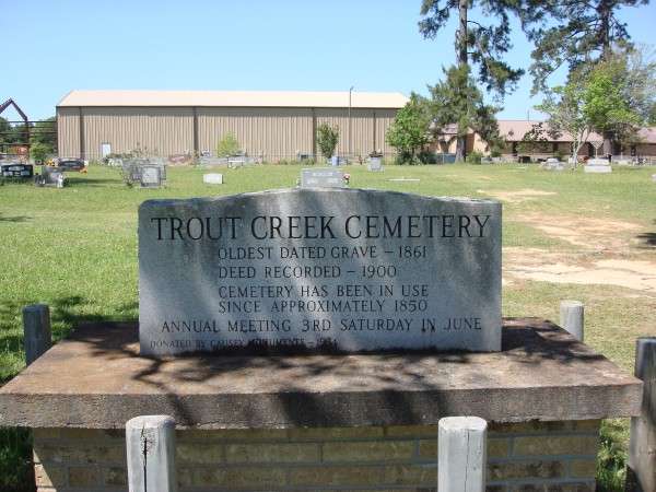
From US 96 turn East on FM 1004 at Call Junction. Travel 6.5 miles east to the junction of FM 1004 and Hwy 87. The Trout Creek Cemetery will be on your right (south side of FM 1004) just prior to the junction.
If you have a GPS, program Trout Creek, TX as the destination city and it will take you right to the intersection of FM 1004 and Hwy 87.
If you would like to check out the general location, click here for a Google Earth file that will take you directly there (you must have Google Earth installed on your computer for this to work).
If you would like to check out the location of the actual burial site of Thomas C. Holmes, click this link for another Google Earth file that will take you there.
Directions for Google Earth link files: If Google Earth is integrated into your browser, it should open automatically when you click the link. If not, and you have Internet Explorer 7, then when you click on the above Google Earth data file links, a dialog box will appear with buttons to Open, Save, or Cancel. If you get a security warning ("This content might not be displayed properly. The file was restricted...") click on the yellow warning bar (IE 7) and select Show Restricted Content and you will then see the Open, Save, or Cancel buttons. Click the Open button. If you then see another dialog box showing a "doc.kml" file, double-click on the file name and Google Earth will open and take you to the site.
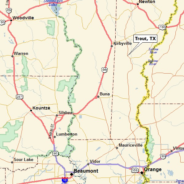
General Orientation Map
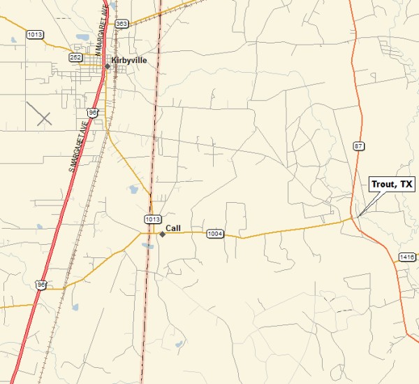
Detail Map
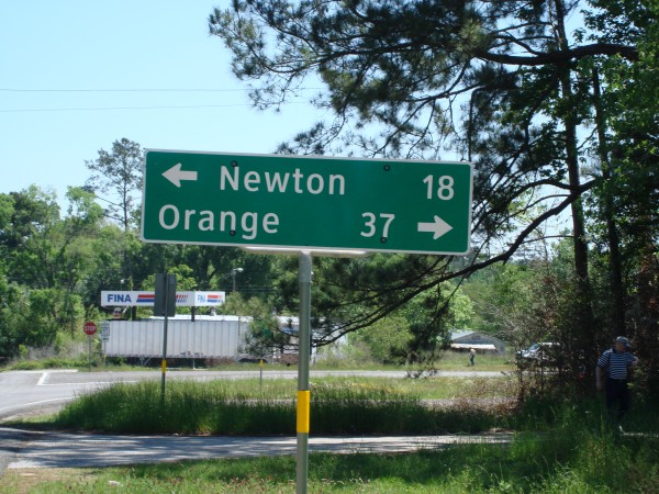
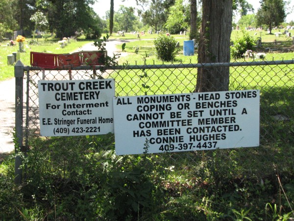
This sign is on FM1004 just prior to Hwy 87. The entrance to the Trout Creek Cemetery
is just beyond the sign. Turn right, proceed to the pavillion, and park.
Entrance to Trout Creek Cemetery
Trout Creek Cemetery History